Wrangell St. Elias National Park is the largest national park in the US system. When combined with the adjacent protected areas of Canada’s Kluane National Park, the Alsek/Tatshenshini Parks, and Glacier Bay National Park, it creates the largest international protected area in the world.
Let’s put that into figures. The total international protected area is 9,839,121 hectares, or 24,312,997 acres. Those numbers are so big they are hard to wrap your head around. So, let’s try it in square miles: 37,989 square miles. Still too big to conceive isn’t it? It’s about the size of the state of Virginia.
On the US side of the border, that expanse is accessible by only two roads: The rugged Nabesna Road which reaches into the northern part of Wrangell St. Elias, and slightly better McCarthy Road which pokes into the western portion. The rest is ice, rock, forest, tundra, and a wilderness unparalleled.
The trip I guided to the Wrangells a couple of weeks ago, was inspired by a repeat client of mine, who is just wrapping up a personal project to photograph every national park in the USA. I put it together with his project in mind, and then opened the trip up to others. In the end, there were four clients, and myself who set out from Fairbanks toward the nation’s largest park.
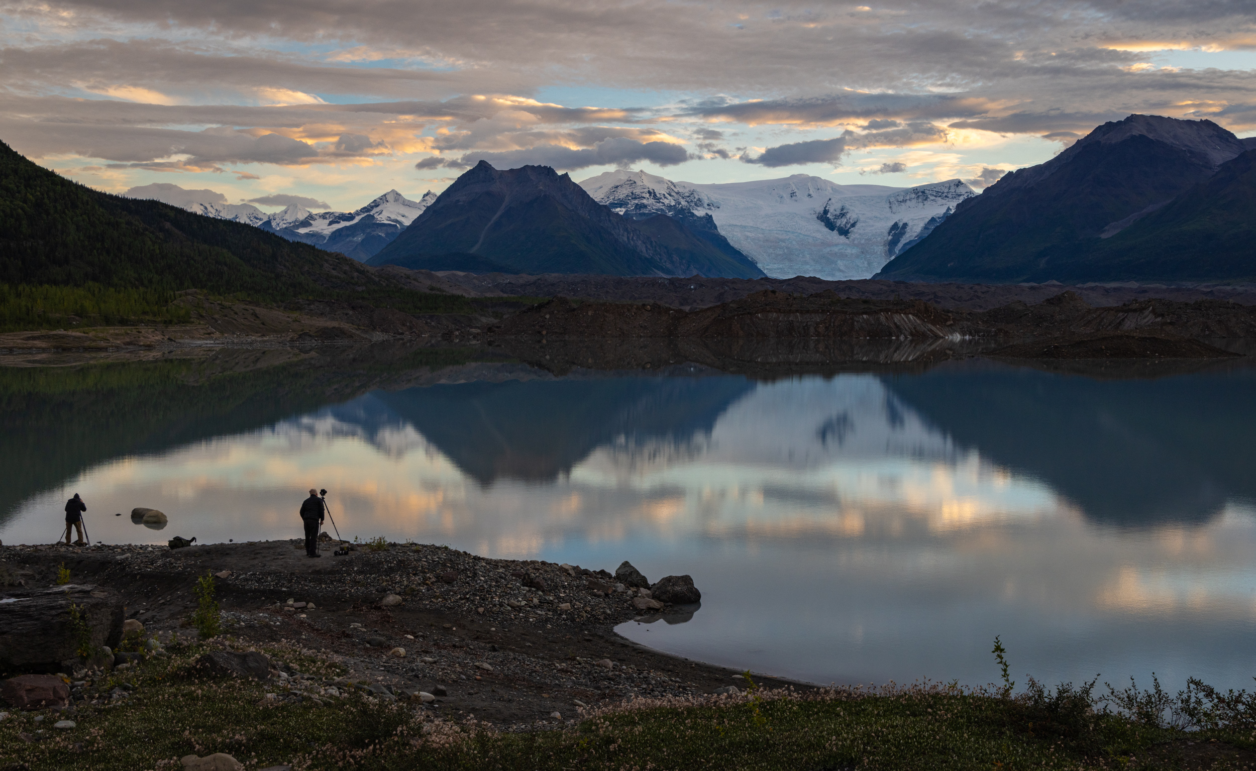
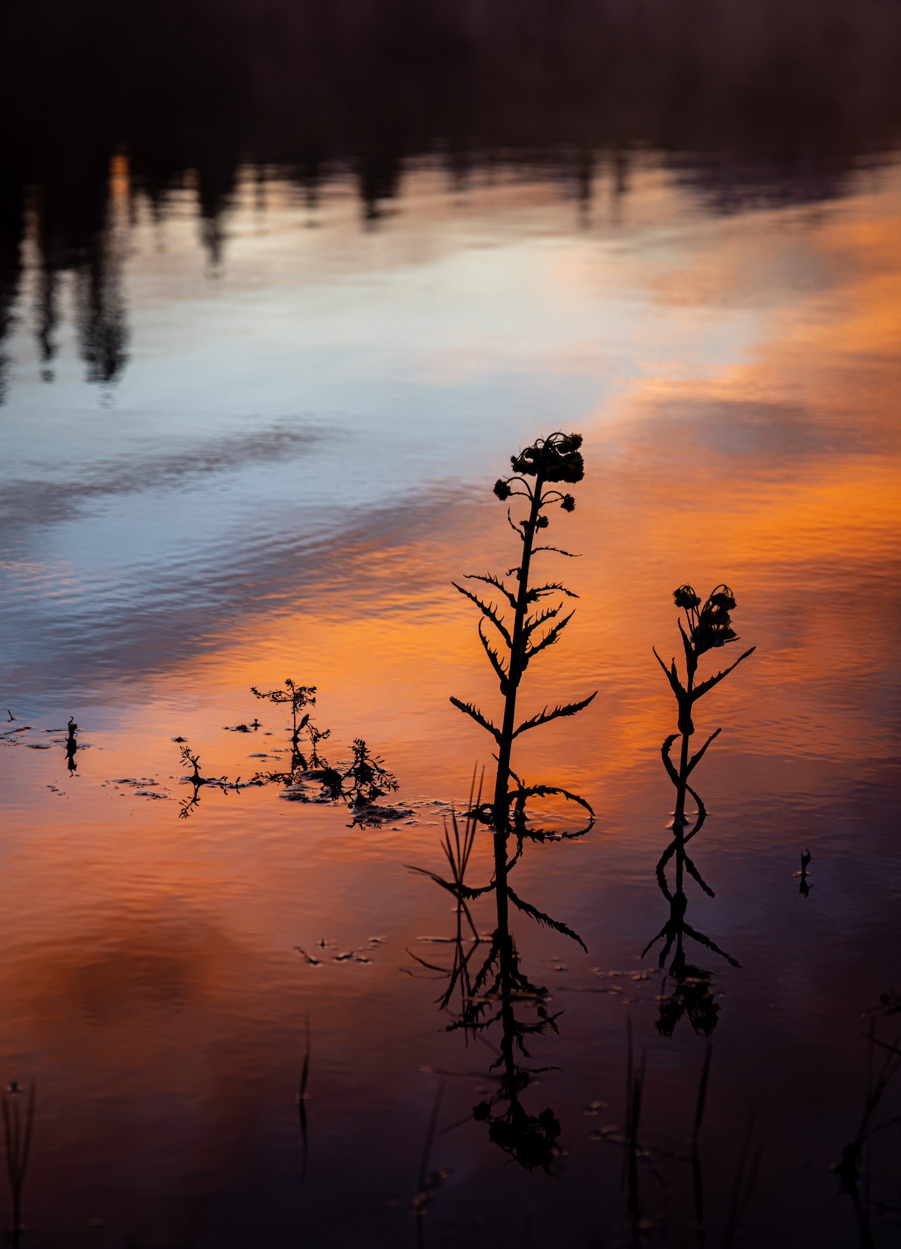
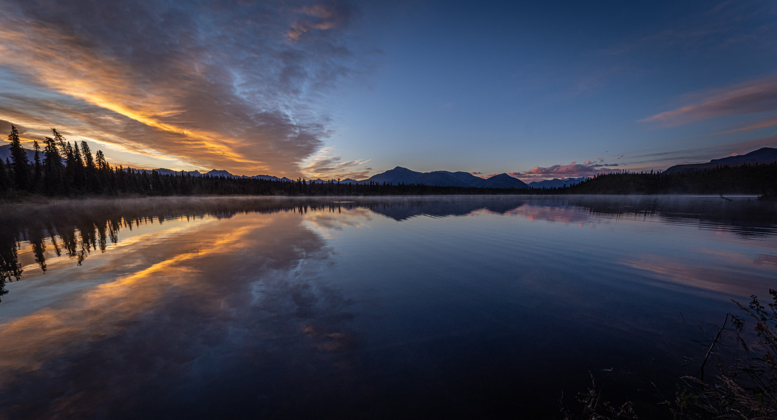
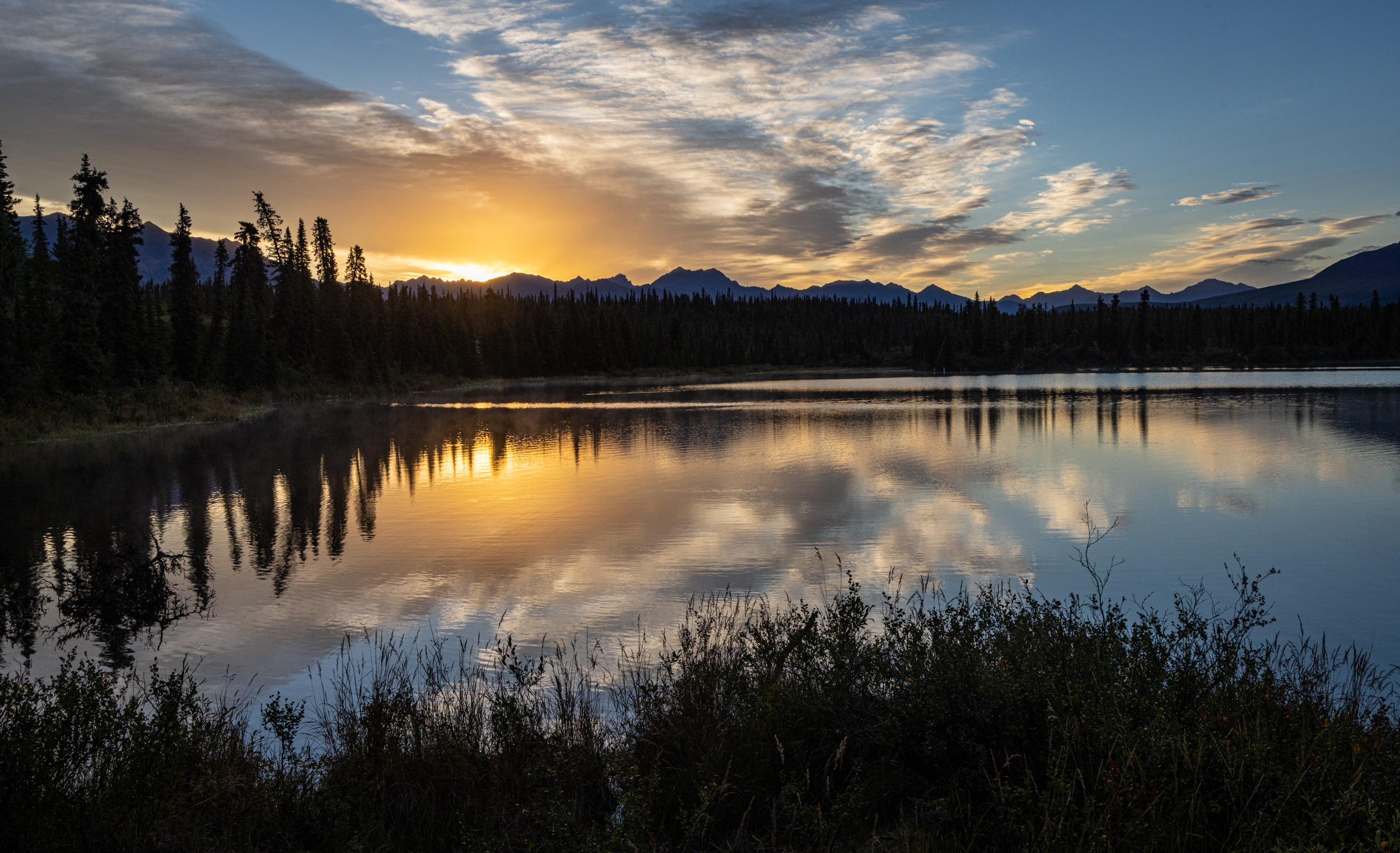
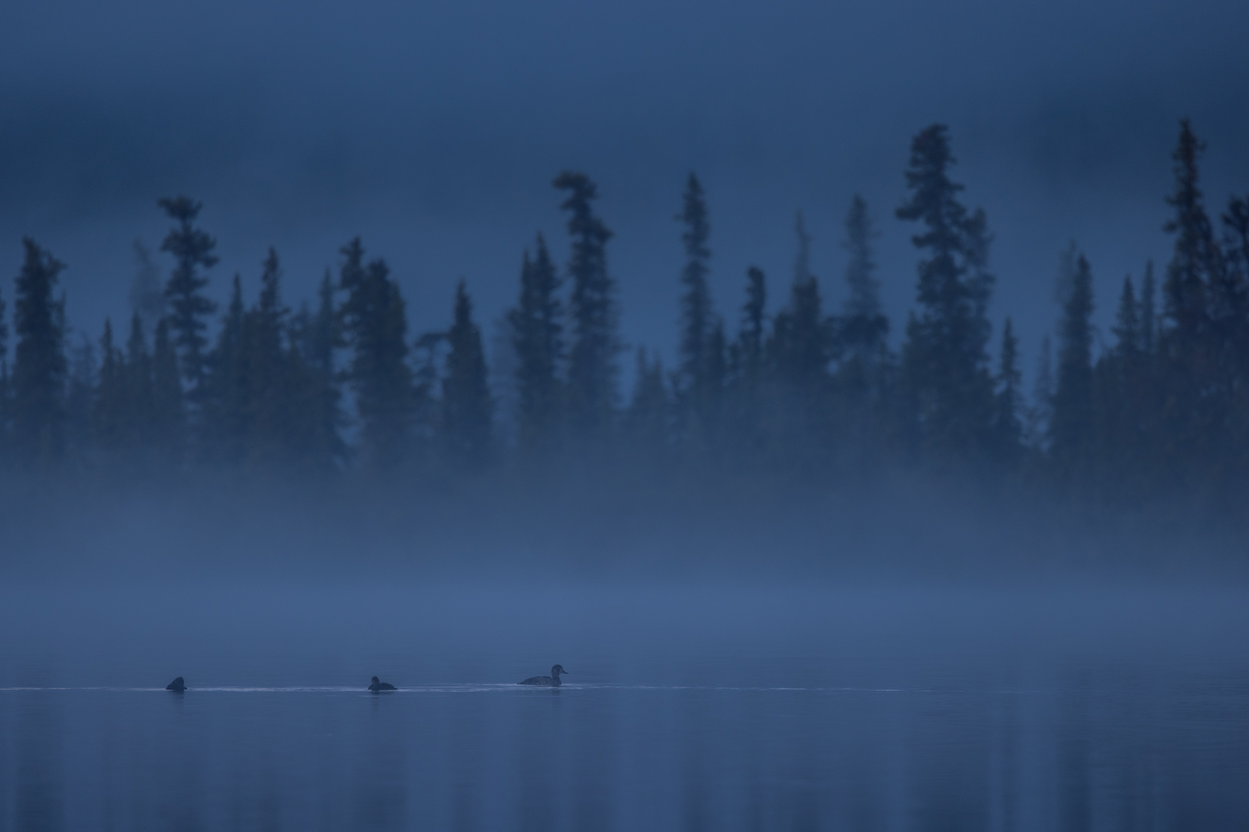
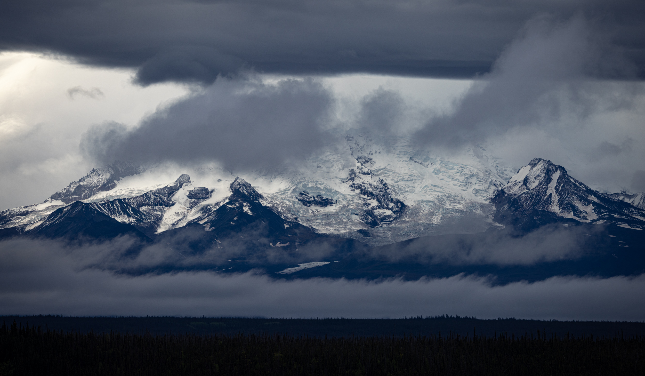
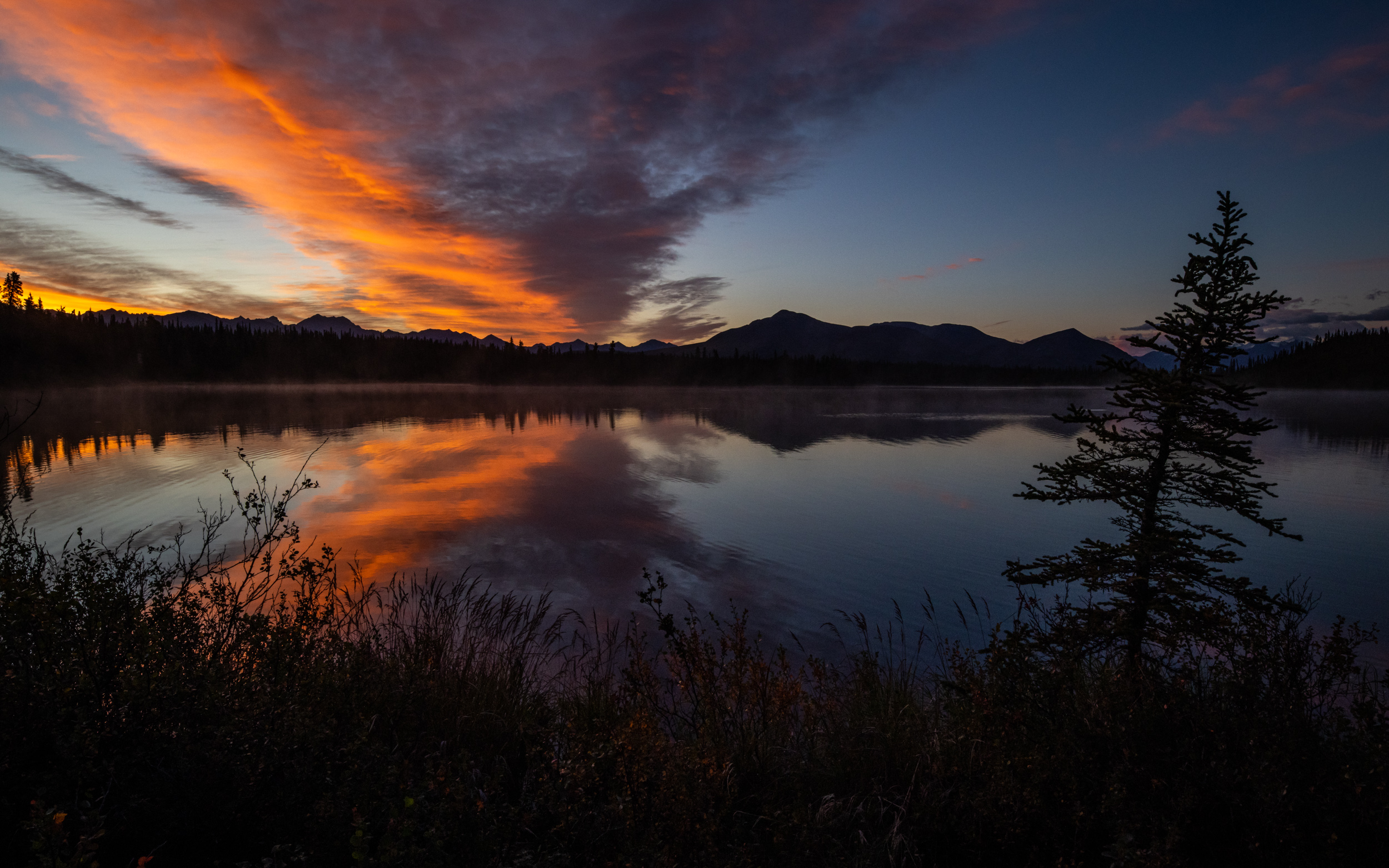
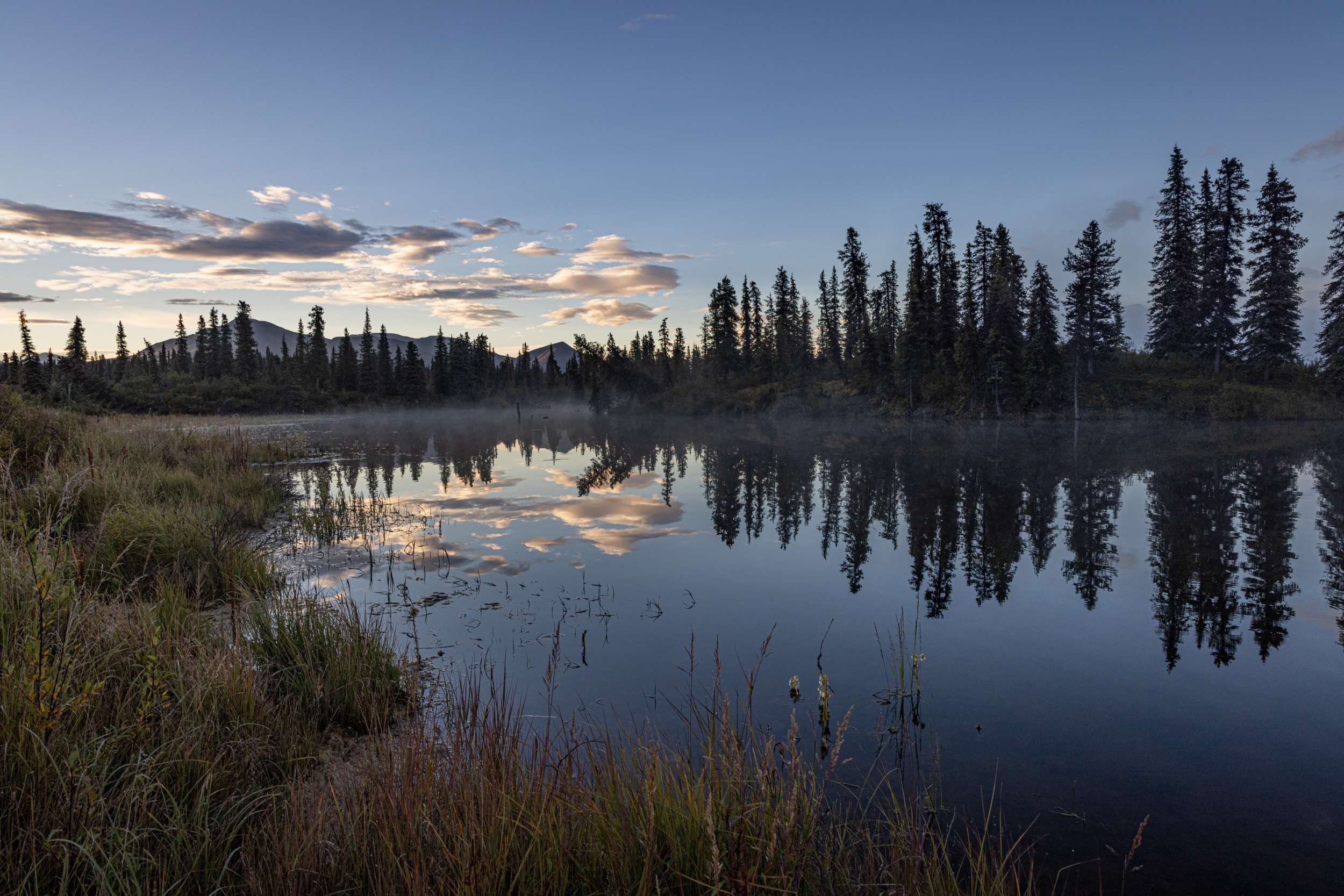
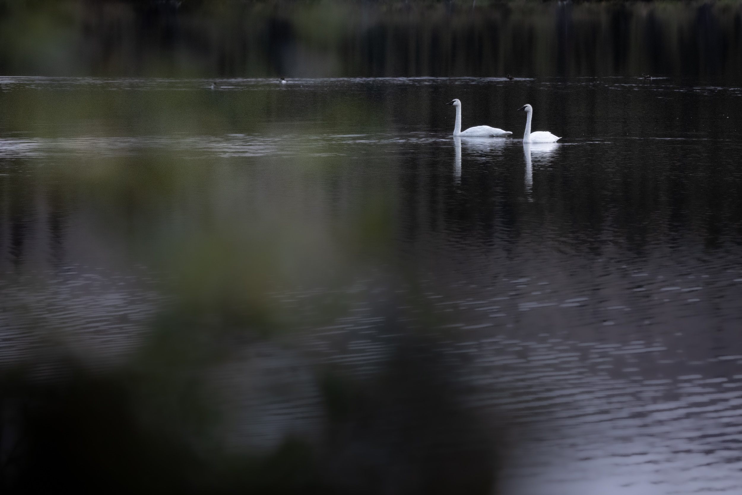
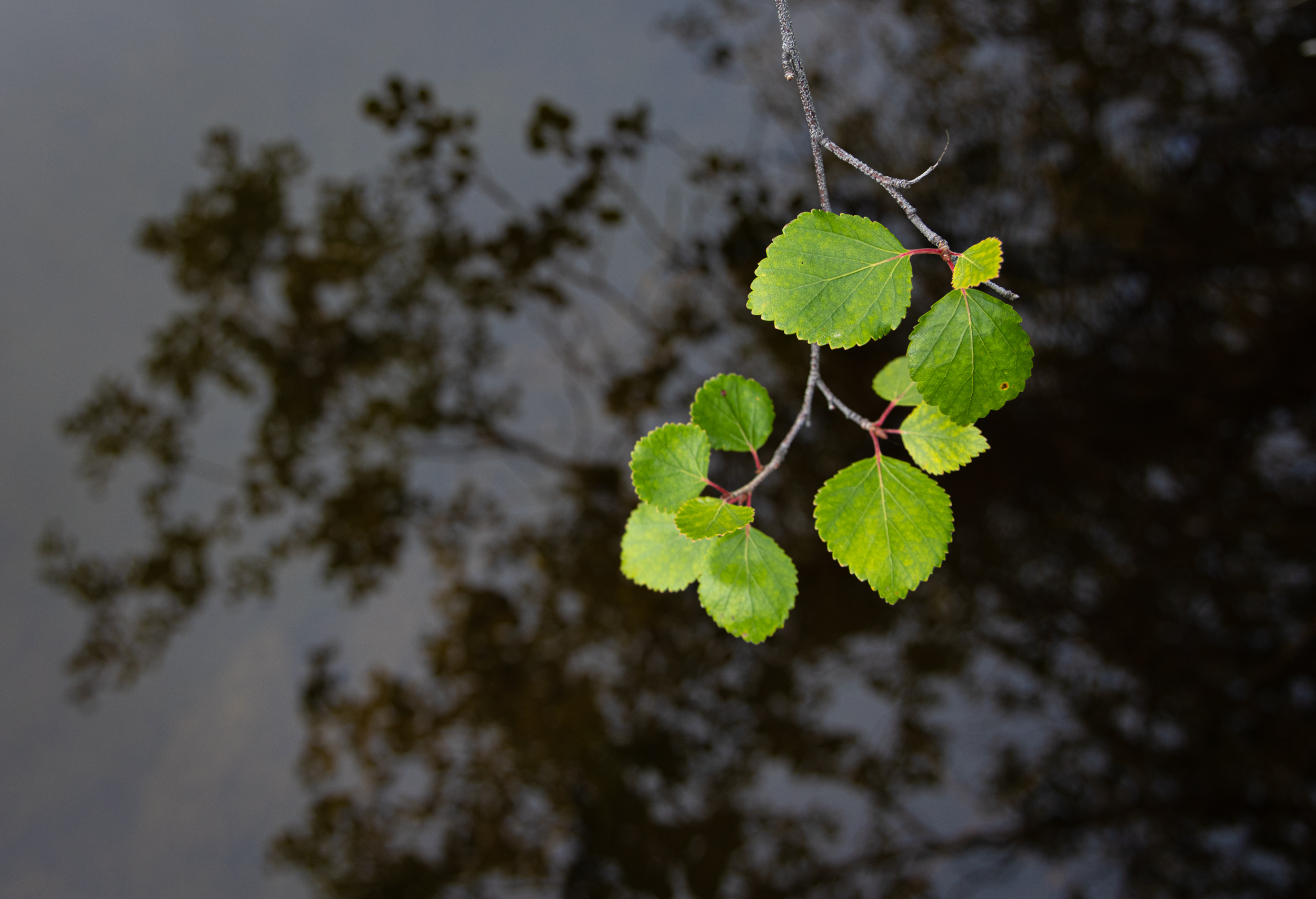
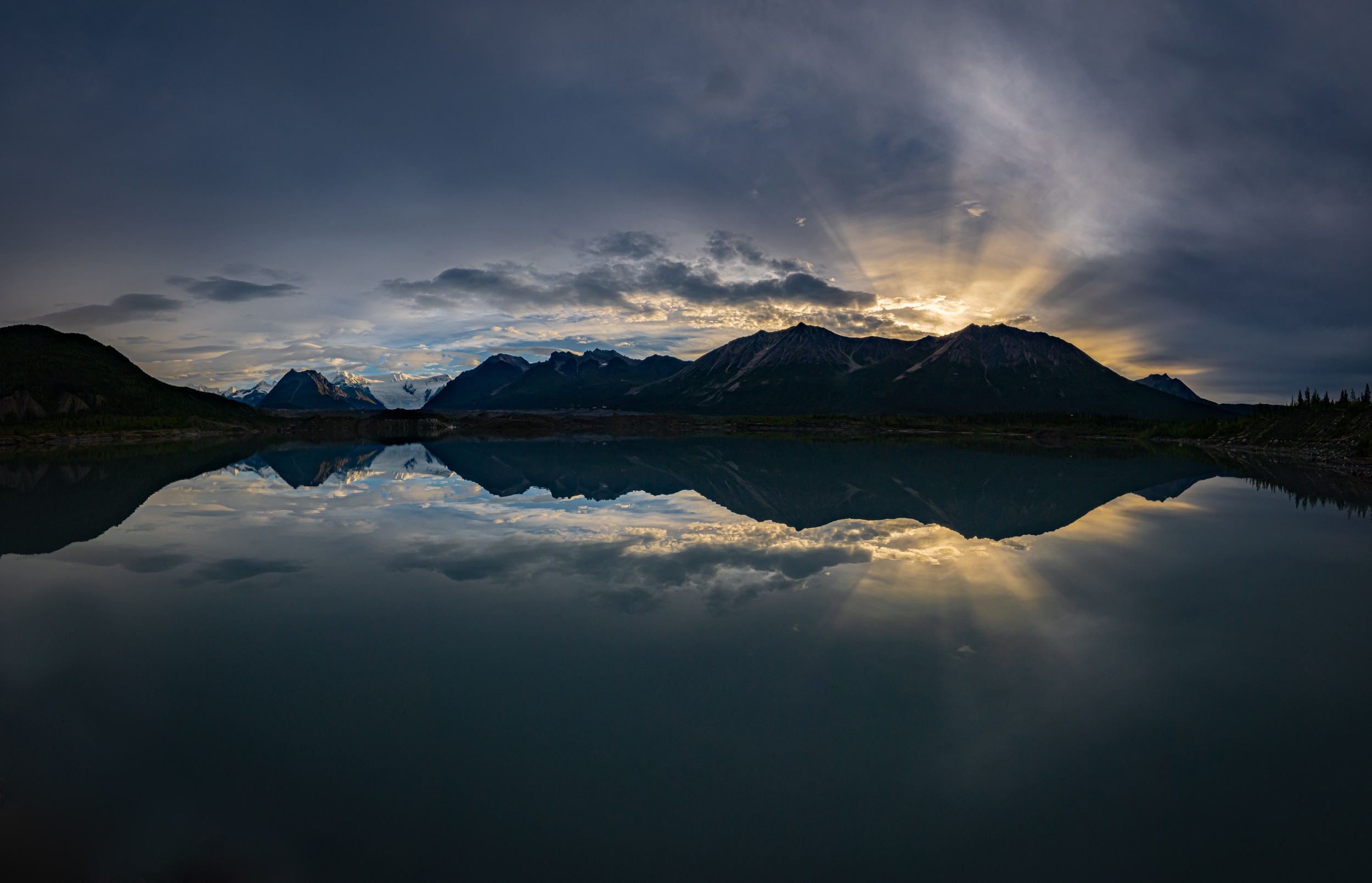
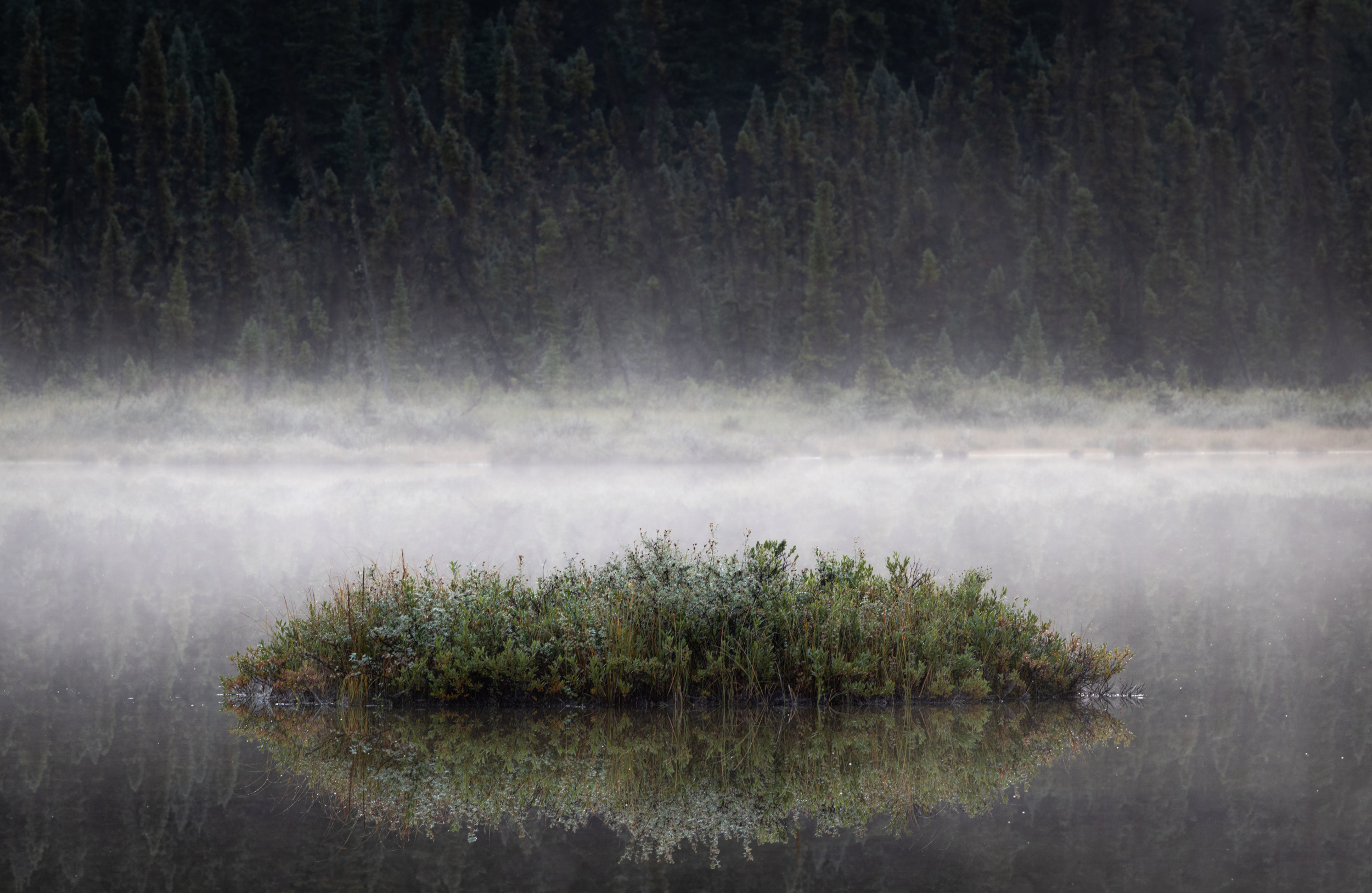
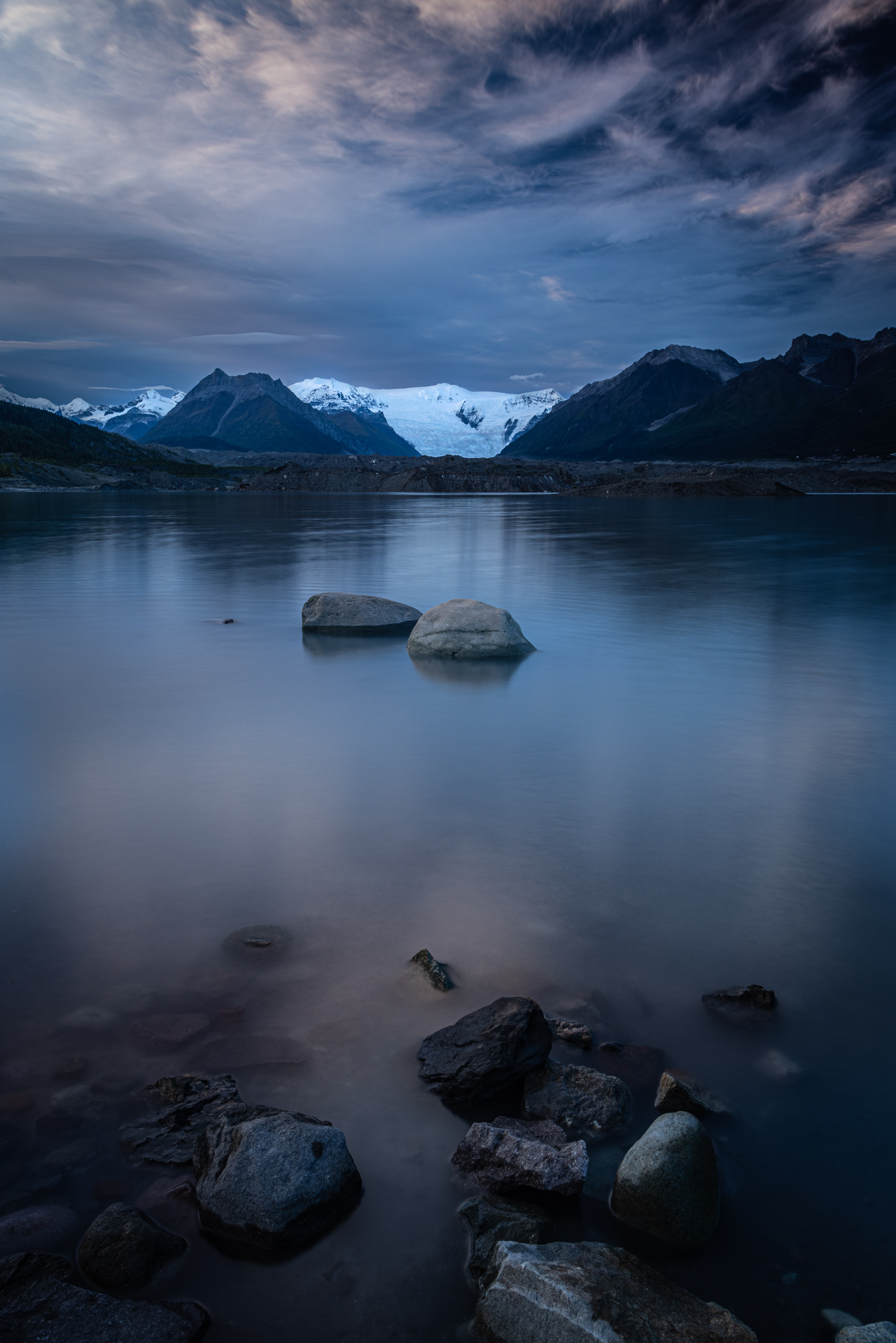
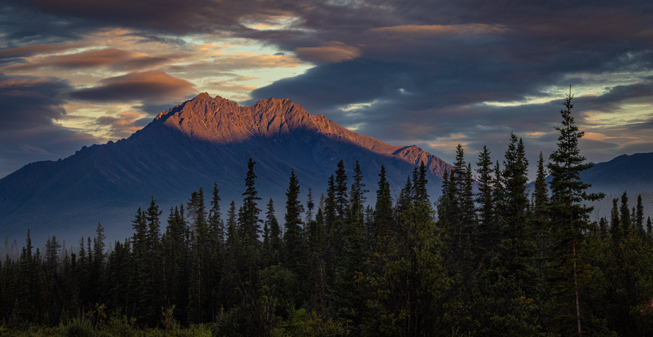
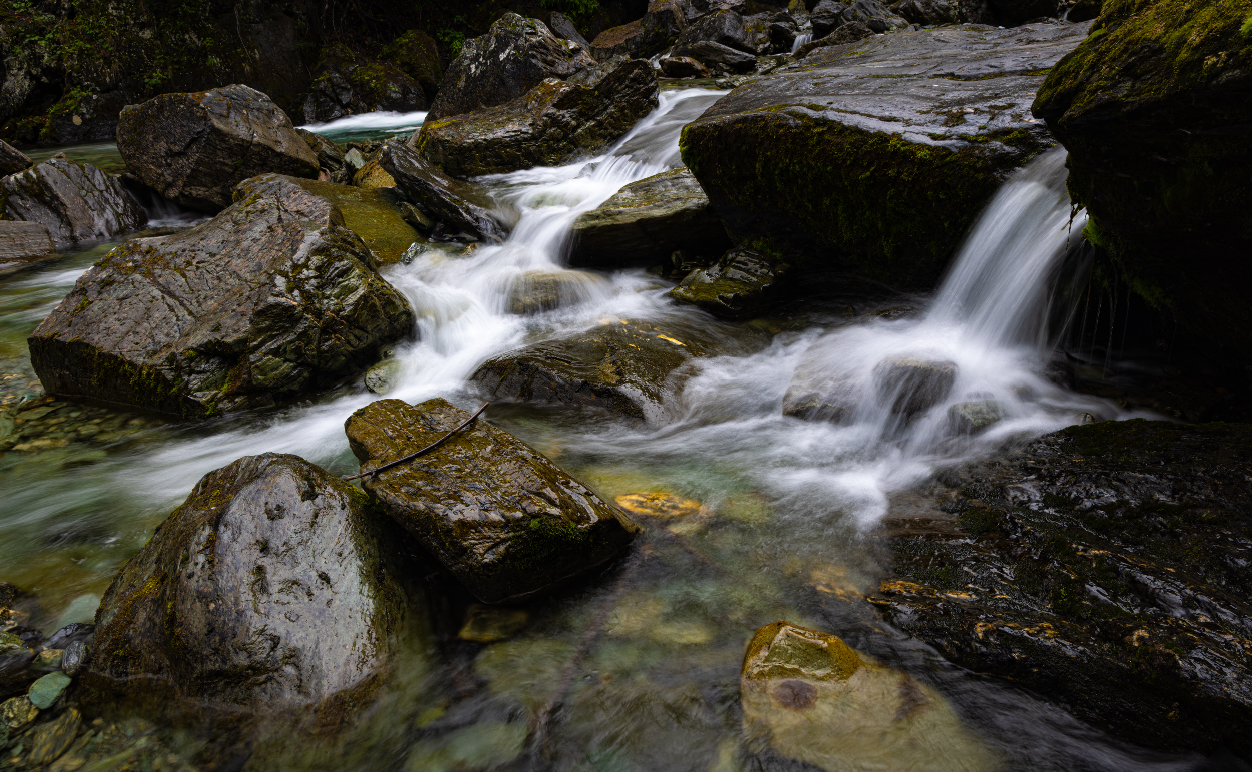
We spent three nights along the Nabesna Road. This northern, one-way spur road is little-traveled, and bears no resemblance whatsoever to the crowded pavement highways that criss cross the national parks in the lower 48. Beyond the tiny community of Nabesna, 25 miles from the turnoff, the road goes to single lane dirt and rock with big washouts and numerous creek crossings. Cars pass only a few times a day, and it’s not a place you’d want to have breakdown. It’s also spectacular. The Mentasta Mountains to the east, and the tall peaks of the Wrangells to the south and west make a beautiful setting. Numerous lakes catch sunrise reflections, and hiking and photo opportunities are everywhere.
Here are the highlights from the three days on the Nabesna Road:
McCarthy – Kennicott
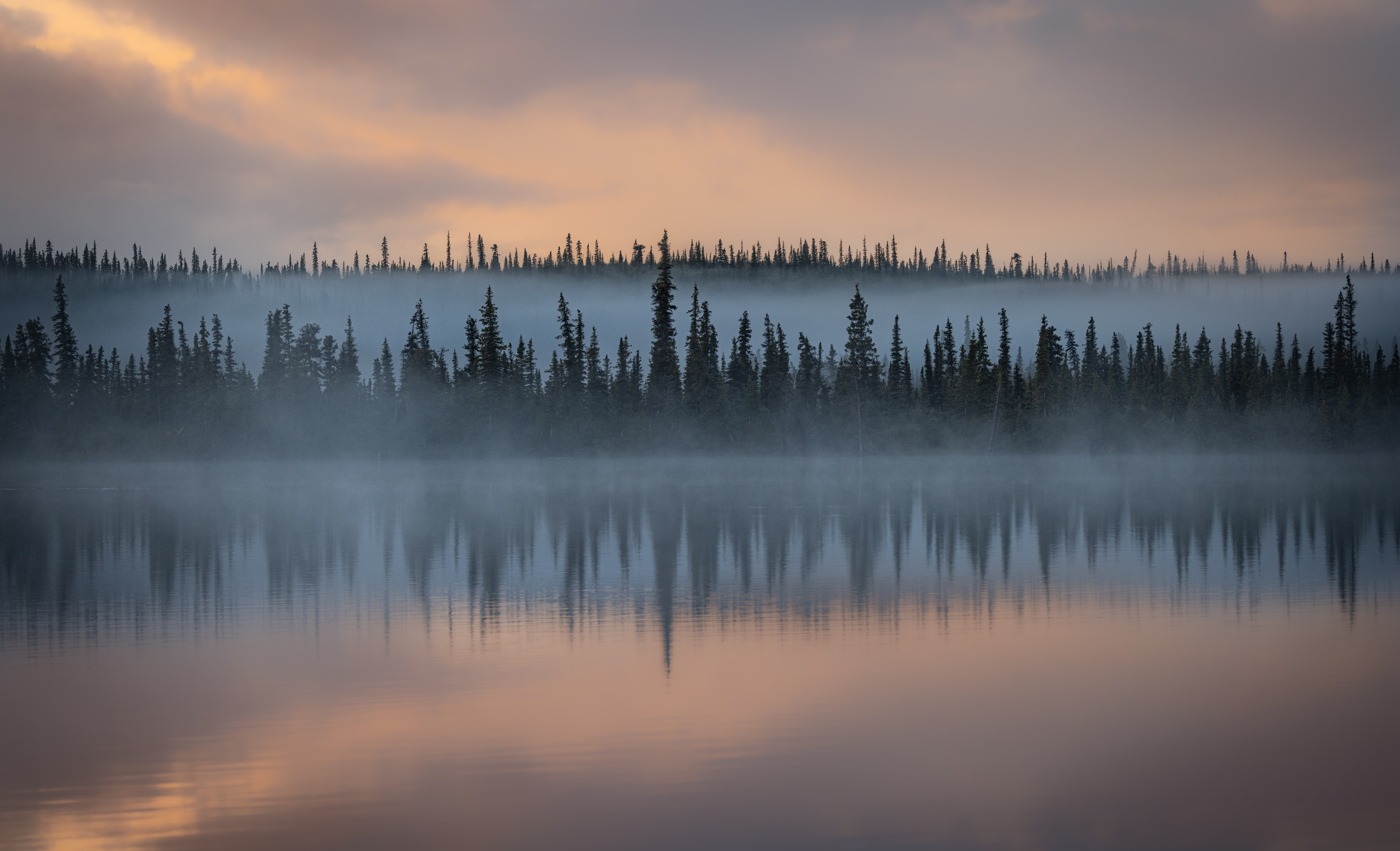
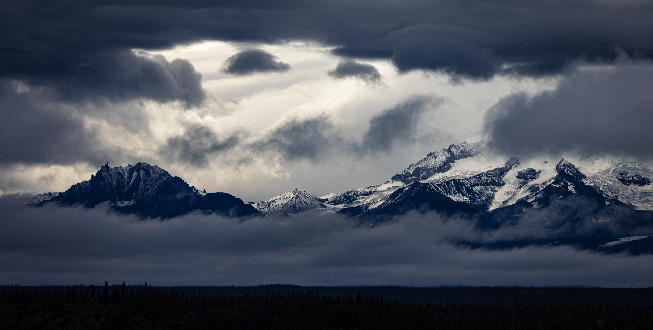
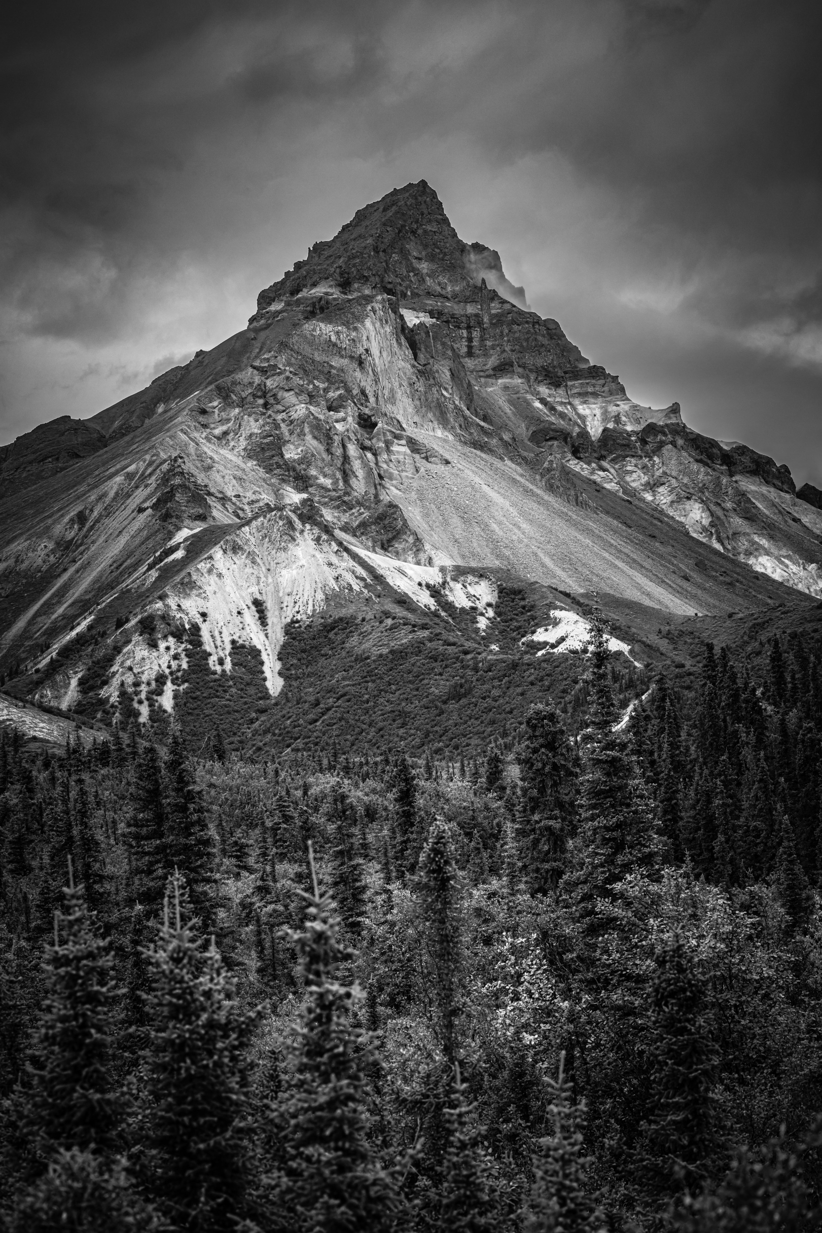
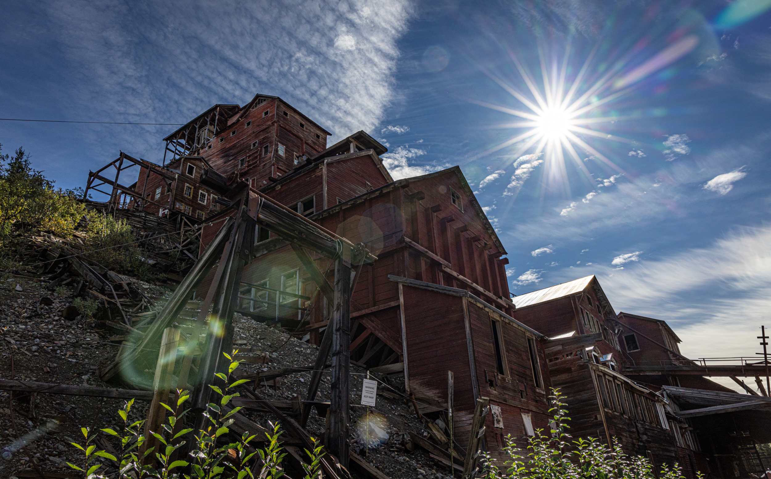
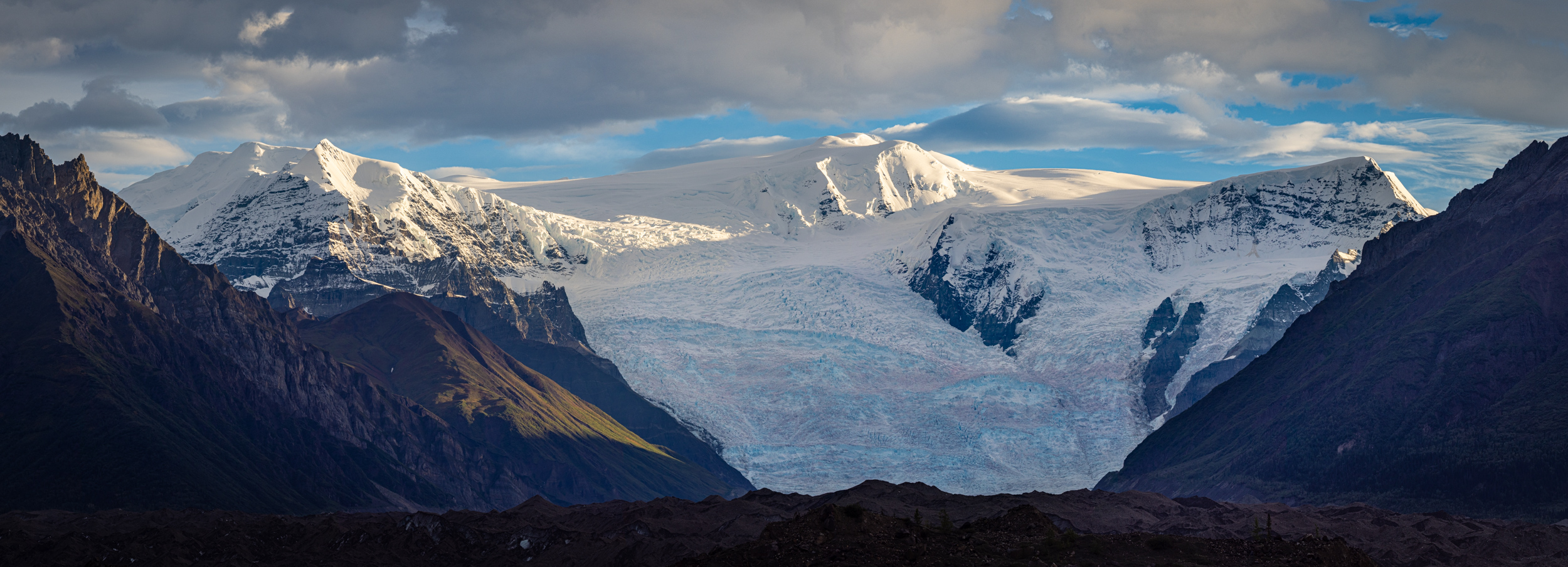
After three days of exploration on the Nabesna Road, we turned the van’s wheels toward the tiny village of McCarthy Alaska. McCarthy is a mining community settled in the goldrush days of the early 1900s. It’s just down the hill the ruins of the famous Kennicott Mine where tons of copper were pulled out of the Wrangell Mountains. The mining is long since over, but the town remains. The residents have done their best to maintain a sense of wildness, a remote outpost at the end of a seasonal road. They don’t allow private vehicles into town, meaning you have to walk across a pedestrian bridge and then another half mile to reach the village. Or, you can take the free shuttle which runs a couple of time each hour shuttling tourists back and forth from the footbridge.
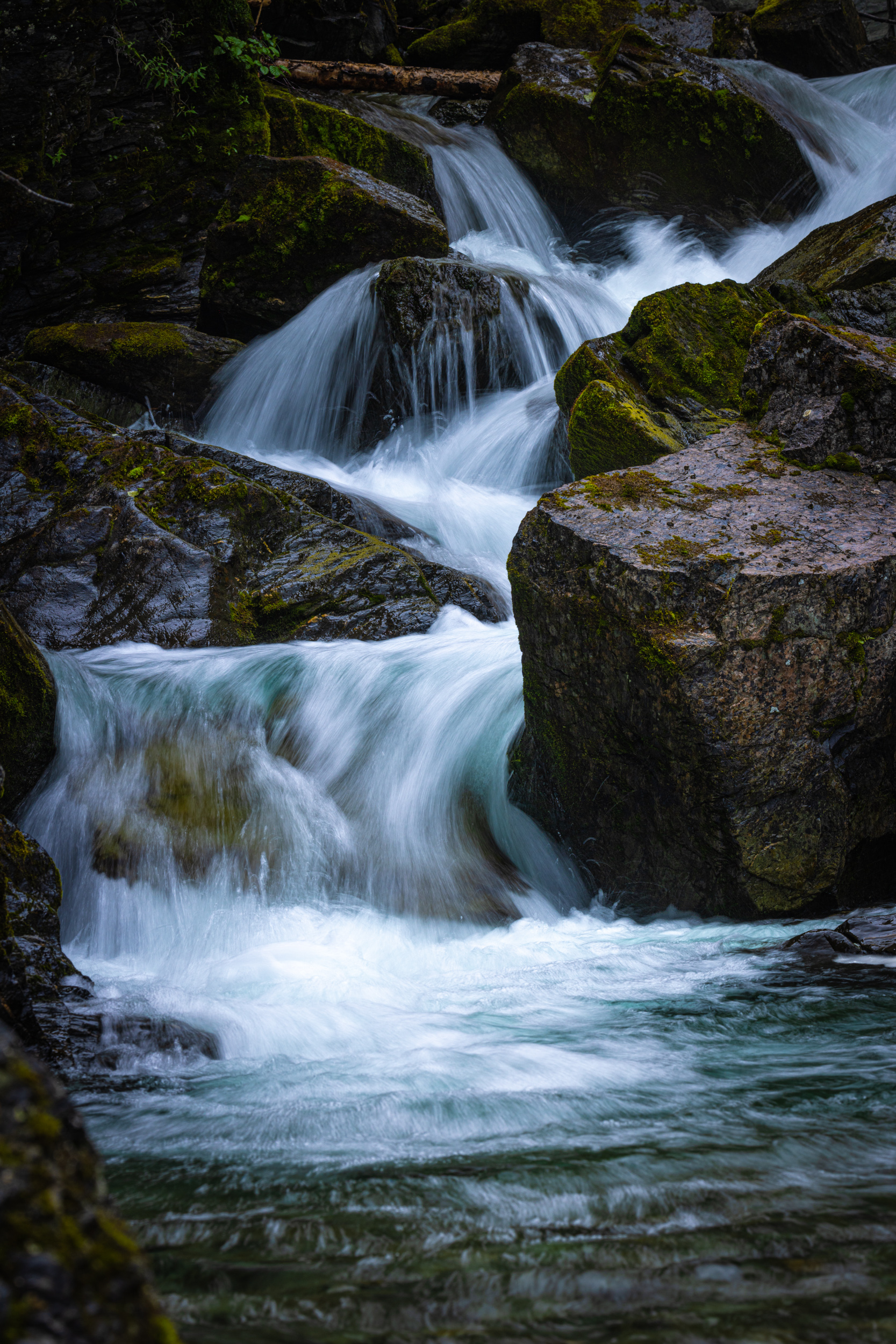
The landscape surrounding McCarthy is staggeringly beautiful. Glaciated peaks, moraines, lakes, forests, and glacial rivers are everywhere you look. We spent three very content days photographing the area, spending one day making the hike from Kennicott out and onto the ice of the Root Glacier, and watching the sunrise, and weather move in across the mountains on the second full day. Many of my friends here in Alaska love McCarthy, and I can see why.
Some highlights from the second portion of the journey:

Conclusion
It takes some effort to get to and from Wrangell St. Elias National Park. It’s a solid 6 hours of driving, much along dirt and gravel roads from either Fairbanks or Anchorage. But the payoff is well worth it. This trip may make it on my regular schedule, but then again, I might hold this one in reserve, ready for the next group of intrepid photographers who want to make a customized journey to the world’s largest piece of protected land.
Interested in a custom trip like this one? I offer them here in Alaska, the lower 48, Africa, South America, or just about anywhere. Check out the information on custom trips HERE, or drop me a note.